about
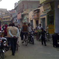
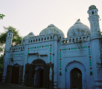
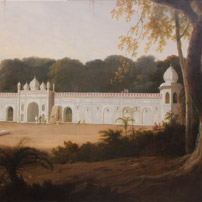
"AMROHA" the city where its every street dictates historical past of amroha and its historical monuments, old houses, dargah's, masjids and even the breeze tells stories of its past. People of amroha, brought up in its atmosphere, who are now living miles away have forgotten the face of their motherland. The next generation who will have no knowledge about amroha or it existence will find there guidance from our website. This website also provides the history of amroha, it's historical places, its recent & old photographs.
Read More
Media Gallery
History of Amroha
“AMROHA”! Town, when did it exist? Who got it rehabilitated? The right & correct answer for all this questions are difficult. There is no sign of certified history prior to the Islamic regime. Apart from the historic books yet there are no sign left within Amroha or in its surroundings concerning the Hindu regime. Amroha was settled 2500 years before, during the time of Raja “Amar Jodha” from the town “Hastanapur”. In the west of Amroha within the distance of 5 Km, still there is a town “Gajasthal”. It known as Raja of Amroha used to keep his elephant within this yard (Than), (GUJJ) meaning Elephant and (ASTHAL) meaning house of Elephant, which indicate Sanskrit was commonly used.
Read More